 vesseltracker.com
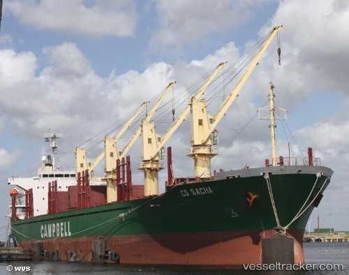
Vessel NAVIS IMO: 9237395, MMSI: 341116002 Bulk Carrier
UTC, 24.50872, 56.61573, course: 322, speed: 0
UTC, 24.50866, 56.61570, course: -1, speed: 0
2026-03-05 17:49:42 UTC, 24.50865, 56.61575, course: 322, speed: 0
Live Vessel NAVIS Analytics (details, animations, etc.)
Live AIS position: UTC. 16 nm SE of Shinas), updated 2026-03-05 17:49:42 UTC.Find the position of the vessel NAVIS on the map. The latter are known coordinates and path.
marine traffic ship tracker show on live map
The current position of vessel NAVIS is 24.50865 lat / 56.61575 lng. Updated: 2026-03-05 17:49:42 UTCCurrently sailing under the flag of Saint Kitts and Nevis
Details:
Last coordinates of the vessel:
UTC, 24.50867, 56.61575, course: 322, speed: 0UTC, 24.50872, 56.61573, course: 322, speed: 0
UTC, 24.50866, 56.61570, course: -1, speed: 0
2026-03-05 17:49:42 UTC, 24.50865, 56.61575, course: 322, speed: 0