 vesseltracker.com
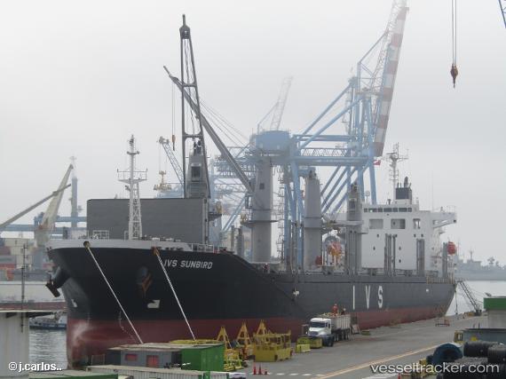
Vessel AMIRA NORA IMO: 9736042, MMSI: 352005612 Cargo
UTC, 36.94265, 7.81239, course: 87, speed: 0
UTC, 36.94333, 7.81167, course: -1, speed: 0
2026-03-05 21:26:57 UTC, 36.94339, 7.81249, course: 105, speed: 0.3
Live Vessel AMIRA NORA Analytics (details, animations, etc.)
Live AIS position: UTC. Near Annaba), updated 2026-03-05 21:26:57 UTC.Find the position of the vessel AMIRA NORA on the map. The latter are known coordinates and path.
marine traffic ship tracker show on live map
The current position of vessel AMIRA NORA is 36.94339 lat / 7.81249 lng. Updated: 2026-03-05 21:26:57 UTCCurrently sailing under the flag of Panama
Details:
Last coordinates of the vessel:
UTC, 36.94169, 7.81267, course: -1, speed: 0.1UTC, 36.94265, 7.81239, course: 87, speed: 0
UTC, 36.94333, 7.81167, course: -1, speed: 0
2026-03-05 21:26:57 UTC, 36.94339, 7.81249, course: 105, speed: 0.3