 vesseltracker.com
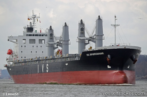
Vessel NANAMI FORTUNE IMO: 9712656, MMSI: 636025414 Cargo
UTC, 48.47917, -7.24724, course: 44, speed: 8.8
UTC, 48.61186, -6.91746, course: 48, speed: 7.9
2026-03-05 22:04:02 UTC, 48.71220, -6.66225, course: 51, speed: 6.1
Live Vessel NANAMI FORTUNE Analytics (details, animations, etc.)
Live AIS position: UTC. 29 nm NE of San Clodio), updated 2026-03-05 22:04:02 UTC.Find the position of the vessel NANAMI FORTUNE on the map. The latter are known coordinates and path.
marine traffic ship tracker show on live map
The current position of vessel NANAMI FORTUNE is 48.71220 lat / -6.66225 lng. Updated: 2026-03-05 22:04:02 UTCCurrently sailing under the flag of Liberia
Details:
Last coordinates of the vessel:
UTC, 48.31179, -7.65931, course: 63, speed: 11.1UTC, 48.47917, -7.24724, course: 44, speed: 8.8
UTC, 48.61186, -6.91746, course: 48, speed: 7.9
2026-03-05 22:04:02 UTC, 48.71220, -6.66225, course: 51, speed: 6.1