 vesseltracker.com
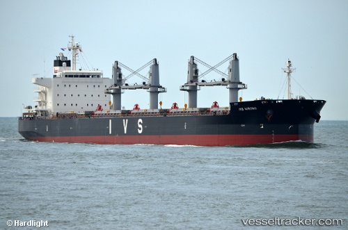
Vessel MARAWAH ISLAND IMO: 9726229, MMSI: 563302900 Cargo
UTC, 49.29545, -139.87549, course: 100, speed: 12.5
UTC, 49.19803, -139.05536, course: 103, speed: 12.3
2026-03-06 00:00:57 UTC, 49.13219, -138.50475, course: 102, speed: 12.3
Live Vessel MARAWAH ISLAND Analytics (details, animations, etc.)
Live AIS position: UTC. 262 nm NW of Primorsky Krai), updated 2026-03-06 00:00:57 UTC.Find the position of the vessel MARAWAH ISLAND on the map. The latter are known coordinates and path.
marine traffic ship tracker show on live map
The current position of vessel MARAWAH ISLAND is 49.13219 lat / -138.50475 lng. Updated: 2026-03-06 00:00:57 UTCCurrently sailing under the flag of Singapore
Details:
Last coordinates of the vessel:
UTC, 49.34833, -140.48167, course: -1, speed: 12UTC, 49.29545, -139.87549, course: 100, speed: 12.5
UTC, 49.19803, -139.05536, course: 103, speed: 12.3
2026-03-06 00:00:57 UTC, 49.13219, -138.50475, course: 102, speed: 12.3