 vesseltracker.com
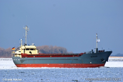
Vessel KOOLE K IMO: 7002605, MMSI: 377901292 General Cargo
UTC, 16.94575, -63.76133, course: 79, speed: 4
UTC, 16.98439, -63.59501, course: 75, speed: 3.7
2026-03-05 16:19:10 UTC, 17.01220, -63.47353, course: 83, speed: 4
Live Vessel KOOLE K Analytics (details, animations, etc.)
Live AIS position: UTC. 39 nm SW of Oranjestad), updated 2026-03-05 16:19:10 UTC.Find the position of the vessel KOOLE K on the map. The latter are known coordinates and path.
marine traffic ship tracker show on live map
The current position of vessel KOOLE K is 17.01220 lat / -63.47353 lng. Updated: 2026-03-05 16:19:10 UTCCurrently sailing under the flag of Saint Vincent and the Grenadines
Details:
Last coordinates of the vessel:
UTC, 16.92557, -63.90225, course: 83, speed: 4UTC, 16.94575, -63.76133, course: 79, speed: 4
UTC, 16.98439, -63.59501, course: 75, speed: 3.7
2026-03-05 16:19:10 UTC, 17.01220, -63.47353, course: 83, speed: 4